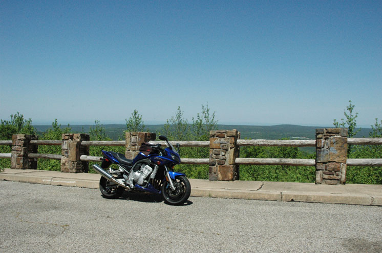
I left yesterday at around nine o'clock in the morning for Clarksdale Mississippi. I was headed for the spot where US 49 and US 61 intersect, known in the world of Blues music as the crossroads. It's on that spot where the legend of Robert Johnson is rumored to have started. Robert lived in obscurity until he supposedly signed a deal with the Devil in Clarksdale one night (and I guess he still is pretty obscure to most people). I was very excited to see what I felt would surely be a creepy, swampy and lonely stretch of road. I headed east on I-40 from the hotel I'm currently staying in toward Little Rock. The weather was calling for record highs for Easter weekend. It was in the mid-seventies already at nine. There were some high scattered clouds but it was otherwise perfect. I stayed to the interstate for the first 90 miles to exit 216. I got off at Brinkley Arkansas and headed down US 49, thrilled to already be on one of the roads that was my goal. Glad to be off the interstate, I took off to Helena Arkansas, on the Mississippi river. The road cuts through farmland and reminds me a great deal of northern Ohio around the Toledo and Findlay area, just a lot less people. I got to the Helena Bridge and stopped to stretch and get a picture of the bridge. Unfortunately there wasn't a good place to pull over close enough to see the river itself. I passed several motorcycles going both ways. Like I said it was a perfect riding day.
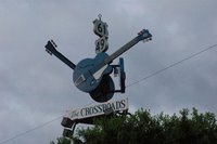
The rest of the 177 miles was pretty uneventful. It was a flat straight shot to the first intersecting of 61 and 49. It turns out the two merge for several miles before you hit the crossroads. The anticipation was building although I was noticing the four lane highway 61 & 49 had become. I simultaneously saw the sign for 49 east and 61 south and the big cloverleaf off ramps. So much for a dirt road with trees covered in Spanish moss and owls staring at me. I got off and headed toward town. At the intersection of State road 161 and US 49 was a sign with three guitars proclaiming I had found the crossroads.
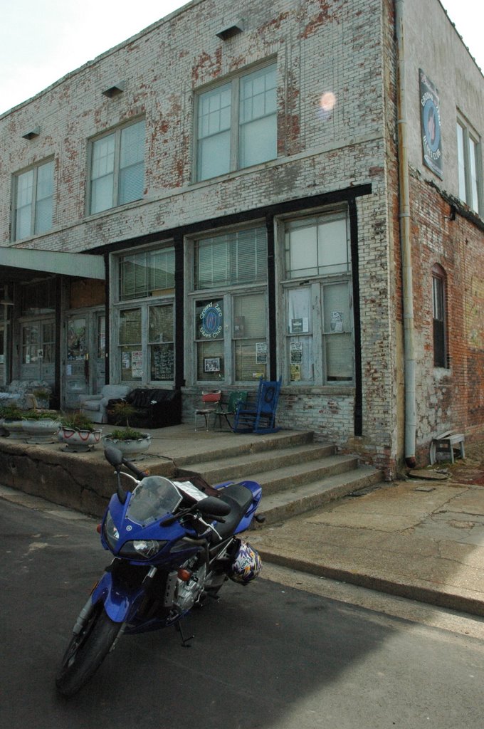
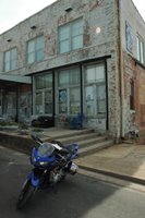
I had no plan other than riding to Clarksdale and Rosedale and seeing what happened when I got there. I tend to not plan my trips out very well preferring to use the destination as more of a reason for the ride. When I got to Clarksdale I saw signs for the Delta Blues Museum so I headed downtown. This part of Mississippi is beautiful and the people are friendly but it's a dirt poor part of the country. The downtown area was dead on a Saturday afternoon. There were some attempts at economic stimulation. The museum itself seemed to be the centerpiece for this renewal. It was in a remodeled train station with some shops in matching buildings a little down the street. For as quiet as the town was I was surprised to see several people touring the museum. The
Delta Blues Museum was nice, clean and the guy at the front desk was helpful and friendly. Some of the displays were the "muddywood" guitar designed by Billy Gibbons of ZZ Top fame. It was created from a chunk of Muddy Waters childhood home torn free from a tornado. Built for fund raising to pay for the museum in 1988 it goes on tour from time to time but is usually on display in the Muddy Waters cabin inside the museum. There were several guitars and old instruments on display. There were several
Stella guitars there. These were apparently the guitar of choice for the blues artists of the 20's and 30's. I have to make a disclaimer here. My knowledge of the blues derives almost entirely from artists like Stevie Ray Vaughn, ZZ Top, and Led Zepplin. I have a few John Lee Hooker albums and know some of the more well known names. I like the music however and the museum instilled me with an interest to check some of the artists out.
There were two photography exhibits. One was a great series by a woman named Panny Flautt Mayfield. They are taken in Juke joints in the area. My favorite has to be a more recent photo of Robert Plant dancing in one of the blues clubs. His face is covered in a scruffy beard, head down holding a bottle of Budweiser. His arms are held up in front of him and he looks like he's in a trance. Behind him is a heavyset African American woman staring at the camera looking happy and content. The caption reads, "Robert Plant enjoys the anonymity of the Red Top Lounge". It's instantly become one of my favorite photographs.
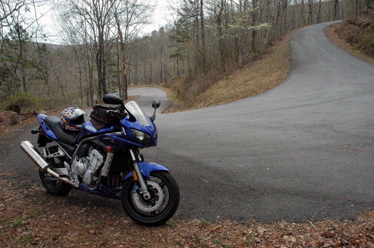
That afternoon I headed down Highway 1 to Rosedale (40 or so miles from Clarksdale) with Eric Clapton's song
Crossroads running through my head alternating with Led Zepplin's
Traveling Riverside Blues. Highway 1 runs along the river and I thought maybe this was the route Robert Johnson took when he wrote the original song. The town was clean and quaint and the people were friendly. An old gentleman honked at me when I first got in to town. Thinking I had pulled out in front of him or something to that effect I turned and he waved. It seems that everyone honks and waves to everyone else. I liked it.
I got home at around seven with the idea of going to a local blues bar and seeing some live music. I think that would have been a perfect event to end this post on. Unfortunately riding all day in the heat took it's toll and I fell asleep, waking up just long enough to get undressed and into bed. The next day I got up early and left under cloudy threatening skies. The wind hit me broadside all the way back to Conway.
All in all it was a pretty good ride. The roads were pretty much straight and dull, the scenery was not bad, not great but the big draw of it all was treading the ground that so many legendary musicians had walked on and seeing the place were the Delta blues was born. I don't think I've ever been where the music fit the place so appropriately.
Miles - 455

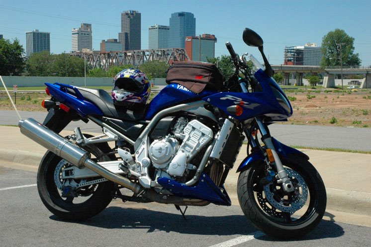 I just took a small Sunday drive today from Conway across SR 64 into Beebee and down SR 67 to Little Rock. It was a pleasant ride through the farmlands. I left around 10:00 o'clock this morning so the traffic was pretty light. Things don't get hopping until noon or so, as most of the cars are in church parking lots until then. As I got into North Little Rock there was quite a bit of construction on 67 and the traffic picked up considerably so it was hairy going for awhile. Once I made the quick hop on SR 67/I-40 to I-30 south into downtown everything calmed down again. The city seems nice and clean. It's a smaller city but pretty. It's laid out on two sides of the Arkansas River. There's a revitialized riverfront developement with shops, resturaunts and a park (complete with a pavilion for live performances). Of course all of this was closed while I was there.
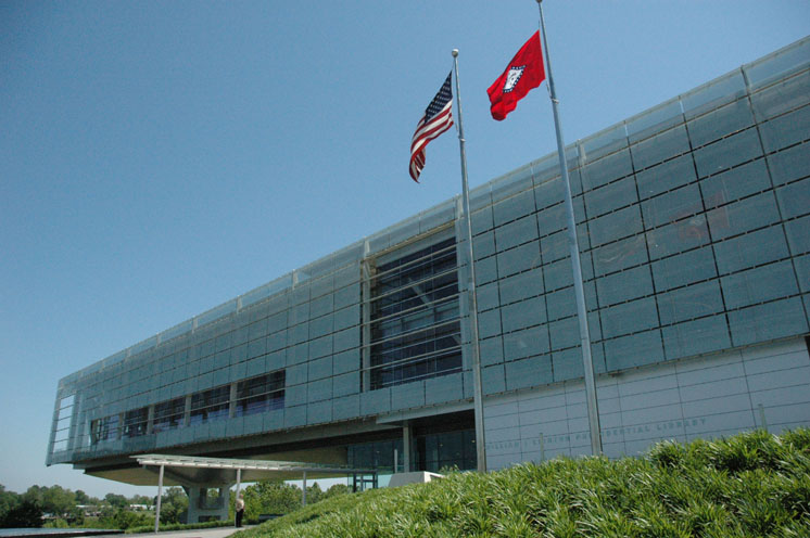 mood to walk around inside so I thought I would save that for another trip. I did get some nice pictures of the outside. Like everything else around here, Sunday morning seems to be a good time to go. The library was open but there were no long lines or crowds to fight. I made one last pass through town and the auto and pedestrian traffic was beginning to pick up. I headed back up SR 67 to 64 and hightailed it home.